
Thank you for supporting this site ❤️
Make a donation
Make a donation
Middle Island topographic map
Click on the map to display elevation.
Thank you for supporting this site ❤️
Make a donation
Make a donation
Middle Island
On October 27, 1910, the International Aviation Tournament was held at the Belmont Park racetrack in Elmont, New York. The meet offered $3,750 for the highest altitude, another $1,000 for a world record and a $5,000 bonus for exceeding 10,000 feet. Ralph Johnstone set a new American flight altitude record of 8,471 feet. During the flight, a gust of wind forced him to fly backwards, and he landed near Artist Lake.
Thank you for supporting this site ❤️
Make a donation
Make a donation
About this map
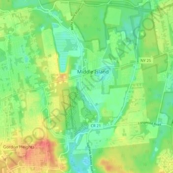
Name: Middle Island topographic map, elevation, terrain.
Average elevation: 31 m
Minimum elevation: 10 m
Maximum elevation: 63 m
Thank you for supporting this site ❤️
Make a donation
Make a donation