
Thank you for supporting this site ❤️
Make a donation
Make a donation
Jasper County topographic map
Click on the map to display elevation.
Thank you for supporting this site ❤️
Make a donation
Make a donation
About this map
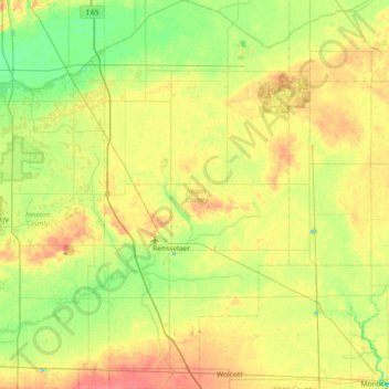
Name: Jasper County topographic map, elevation, terrain.
Location: Jasper County, Indiana, United States (40.73650 -87.27655 41.28634 -86.93000)
Average elevation: 208 m
Minimum elevation: 187 m
Maximum elevation: 238 m
Thank you for supporting this site ❤️
Make a donation
Make a donation