
Thank you for supporting this site ❤️
Make a donation
Make a donation
Ghewar topographic map
Click on the map to display elevation.
Thank you for supporting this site ❤️
Make a donation
Make a donation
About this map
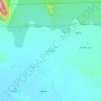
Name: Ghewar topographic map, elevation, terrain.
Location: Ghewar, Rajgarh Tehsil, Alwar, Rajasthan, India (27.23768 76.42124 27.27768 76.46124)
Average elevation: 377 m
Minimum elevation: 342 m
Maximum elevation: 612 m
Thank you for supporting this site ❤️
Make a donation
Make a donation