
Dickinson topographic map
Click on the map to display elevation.
About this map
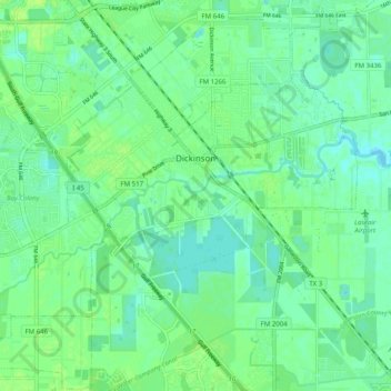
Name: Dickinson topographic map, elevation, terrain.
Location: Dickinson, Galveston County, Texas, 77539, United States (29.42526 -95.10998 29.47950 -95.00978)
Average elevation: 6 m
Minimum elevation: -1 m
Maximum elevation: 13 m
Other topographic maps
Click on a map to view its topography, its elevation and its terrain.
San Luis Pass
United States > Texas > Galveston County > Galveston
Tides cause daily variations in topography, and occasionally, storms more drastically change the topography of the pass.
Average elevation: 0 m
San Luis Pass
United States > Texas > Galveston County > Galveston
Tides cause daily variations in topography, and occasionally, storms more drastically change the topography of the pass.
Average elevation: 0 m
League City
United States > Texas > Galveston County > League City > League City
Average elevation: 7 m
Bacliff
United States > Texas > Galveston County
After Hurricane Ike hit Texas in September 2008, Galveston County officials offered a debris removal program to residents in unincorporated areas, including Bacliff. Flooding from hurricane Ike was minimized due in part to Bacliff's relatively high elevation of 16 feet.
Average elevation: 4 m