
Thank you for supporting this site ❤️
Make a donation
Make a donation
Slemp topographic map
Click on the map to display elevation.
Thank you for supporting this site ❤️
Make a donation
Make a donation
About this map
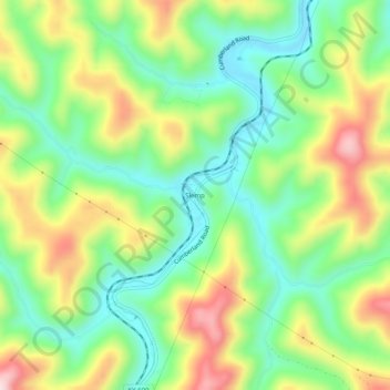
Name: Slemp topographic map, elevation, terrain.
Location: Slemp, Perry County, Kentucky, 41763, United States (37.05870 -83.13156 37.09870 -83.09156)
Average elevation: 425 m
Minimum elevation: 298 m
Maximum elevation: 622 m
Thank you for supporting this site ❤️
Make a donation
Make a donation
Other topographic maps
Click on a map to view its topography, its elevation and its terrain.