
Thank you for supporting this site ❤️
Make a donation
Make a donation
Sanankulon topographic map
Click on the map to display elevation.
Thank you for supporting this site ❤️
Make a donation
Make a donation
About this map
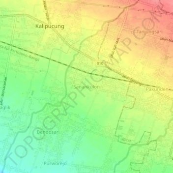
Name: Sanankulon topographic map, elevation, terrain.
Location: Sanankulon, Blitar, East Java, Java, 67122, Indonesia (-8.11795 112.10978 -8.07795 112.14978)
Average elevation: 151 m
Minimum elevation: 113 m
Maximum elevation: 190 m
Thank you for supporting this site ❤️
Make a donation
Make a donation