
Thank you for supporting this site ❤️
Make a donation
Make a donation
Mekarsari topographic map
Click on the map to display elevation.
Thank you for supporting this site ❤️
Make a donation
Make a donation
About this map
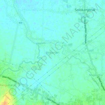
Name: Mekarsari topographic map, elevation, terrain.
Location: Mekarsari, Bandung, West Java, Java, 40382, Indonesia (-7.04757 107.71658 -7.00757 107.75658)
Average elevation: 668 m
Minimum elevation: 661 m
Maximum elevation: 693 m
Thank you for supporting this site ❤️
Make a donation
Make a donation
Other topographic maps
Click on a map to view its topography, its elevation and its terrain.