
Kasokandel topographic map
Click on the map to display elevation.
About this map
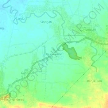
Name: Kasokandel topographic map, elevation, terrain.
Location: Kasokandel, Majalengka, West Java, Java, 45454, Indonesia (-6.76561 108.19698 -6.72561 108.23698)
Average elevation: 36 m
Minimum elevation: 26 m
Maximum elevation: 55 m