
Thank you for supporting this site ❤️
Make a donation
Make a donation
Vulcan topographic map
Click on the map to display elevation.
Thank you for supporting this site ❤️
Make a donation
Make a donation
About this map
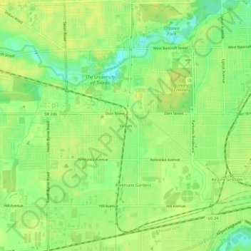
Name: Vulcan topographic map, elevation, terrain.
Location: Vulcan, Toledo, Lucas County, Ohio, 43607, United States (41.63088 -83.62938 41.67088 -83.58938)
Average elevation: 190 m
Minimum elevation: 177 m
Maximum elevation: 197 m
Thank you for supporting this site ❤️
Make a donation
Make a donation