
Thank you for supporting this site ❤️
Make a donation
Make a donation
Hartleyville topographic map
Click on the map to display elevation.
Thank you for supporting this site ❤️
Make a donation
Make a donation
About this map
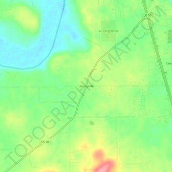
Name: Hartleyville topographic map, elevation, terrain.
Location: Hartleyville, Lawrence County, Indiana, United States (38.77616 -86.55499 38.81616 -86.51499)
Average elevation: 185 m
Minimum elevation: 144 m
Maximum elevation: 251 m
Thank you for supporting this site ❤️
Make a donation
Make a donation
Other topographic maps
Click on a map to view its topography, its elevation and its terrain.