
黄家源村 topographic map
Interactive map
Click on the map to display elevation.
About this map
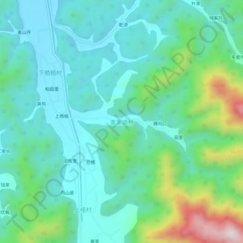
Name: 黄家源村 topographic map, elevation, terrain.
Location: 黄家源村, 杭州市, 浙江省, 中国 (29.39090 118.84659 29.43090 118.88659)
Average elevation: 251 m
Minimum elevation: 112 m
Maximum elevation: 711 m
Other topographic maps
Click on a map to view its topography, its elevation and its terrain.