
Thank you for supporting this site ❤️
Make a donation
Make a donation
Duffel topographic map
Click on the map to display elevation.
Thank you for supporting this site ❤️
Make a donation
Make a donation
About this map
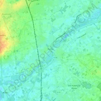
Name: Duffel topographic map, elevation, terrain.
Location: Duffel, Mechelen, Antwerp, Flanders, 2570, Belgium (51.07257 4.46475 51.11693 4.57520)
Average elevation: 8 m
Minimum elevation: -2 m
Maximum elevation: 29 m
Thank you for supporting this site ❤️
Make a donation
Make a donation
Other topographic maps
Click on a map to view its topography, its elevation and its terrain.