
Thank you for supporting this site ❤️
Make a donation
Make a donation
Sorribas topographic map
Click on the map to display elevation.
Thank you for supporting this site ❤️
Make a donation
Make a donation
About this map
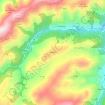
Name: Sorribas topographic map, elevation, terrain.
Location: Sorribas, Grado, Asturias, 33826, España (43.30671 -6.16276 43.34671 -6.12276)
Average elevation: 415 m
Minimum elevation: 139 m
Maximum elevation: 705 m
Thank you for supporting this site ❤️
Make a donation
Make a donation
Other topographic maps
Click on a map to view its topography, its elevation and its terrain.