
Thank you for supporting this site ❤️
Make a donation
Make a donation
Saint Mathias topographic map
Click on the map to display elevation.
Thank you for supporting this site ❤️
Make a donation
Make a donation
About this map
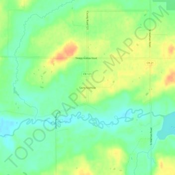
Name: Saint Mathias topographic map, elevation, terrain.
Location: Saint Mathias, Crow Wing County, Minnesota, United States (46.20274 -94.27111 46.24274 -94.23111)
Average elevation: 369 m
Minimum elevation: 352 m
Maximum elevation: 389 m
Thank you for supporting this site ❤️
Make a donation
Make a donation