
Thank you for supporting this site ❤️
Make a donation
Make a donation
Warnock topographic map
Click on the map to display elevation.
Thank you for supporting this site ❤️
Make a donation
Make a donation
About this map
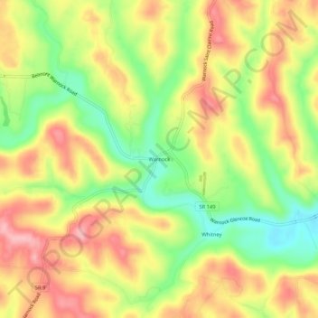
Name: Warnock topographic map, elevation, terrain.
Location: Warnock, Belmont County, Ohio, 43967, United States (40.00257 -80.95732 40.04257 -80.91732)
Average elevation: 337 m
Minimum elevation: 262 m
Maximum elevation: 404 m
Thank you for supporting this site ❤️
Make a donation
Make a donation
Other topographic maps
Click on a map to view its topography, its elevation and its terrain.