
Thank you for supporting this site ❤️
Make a donation
Make a donation
El Quintanal topographic map
Click on the map to display elevation.
Thank you for supporting this site ❤️
Make a donation
Make a donation
About this map
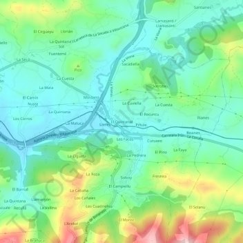
Name: El Quintanal topographic map, elevation, terrain.
Location: El Quintanal, Lieres, Siero, Asturias, 33518, España (43.36024 -5.59888 43.40024 -5.55888)
Average elevation: 299 m
Minimum elevation: 226 m
Maximum elevation: 478 m
Thank you for supporting this site ❤️
Make a donation
Make a donation
Other topographic maps
Click on a map to view its topography, its elevation and its terrain.