
Thank you for supporting this site ❤️
Make a donation
Make a donation
Perdices topographic map
Click on the map to display elevation.
Thank you for supporting this site ❤️
Make a donation
Make a donation
About this map
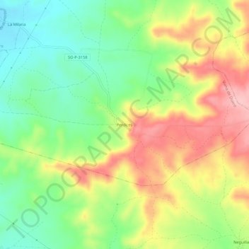
Name: Perdices topographic map, elevation, terrain.
Location: Perdices, Viana de Duero, Soria, Castilla y León, España (41.46165 -2.47490 41.50165 -2.43490)
Average elevation: 1,029 m
Minimum elevation: 958 m
Maximum elevation: 1,117 m
Thank you for supporting this site ❤️
Make a donation
Make a donation