
Thank you for supporting this site ❤️
Make a donation
Make a donation
Pico Catoute topographic map
Click on the map to display elevation.
Thank you for supporting this site ❤️
Make a donation
Make a donation
About this map
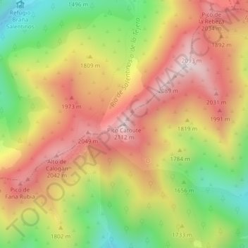
Name: Pico Catoute topographic map, elevation, terrain.
Location: Pico Catoute, Igüeña, El Bierzo, León, Castilla y León, España (42.80132 -6.32211 42.80142 -6.32201)
Average elevation: 1,778 m
Minimum elevation: 1,396 m
Maximum elevation: 2,106 m
Thank you for supporting this site ❤️
Make a donation
Make a donation