
Thank you for supporting this site ❤️
Make a donation
Make a donation
Hamrick topographic map
Click on the map to display elevation.
Thank you for supporting this site ❤️
Make a donation
Make a donation
About this map
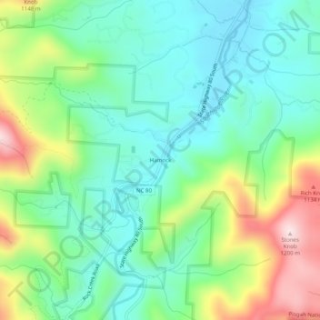
Name: Hamrick topographic map, elevation, terrain.
Location: Hamrick, Yancey County, North Carolina, 38714, United States (35.78984 -82.21901 35.82984 -82.17901)
Average elevation: 935 m
Minimum elevation: 812 m
Maximum elevation: 1,206 m
Thank you for supporting this site ❤️
Make a donation
Make a donation
Other topographic maps
Click on a map to view its topography, its elevation and its terrain.