
桃源县 topographic map
Interactive map
Click on the map to display elevation.
About this map
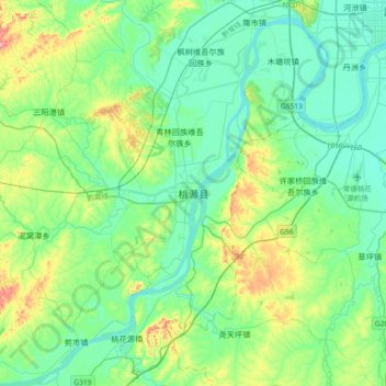
Name: 桃源县 topographic map, elevation, terrain.
Location: 桃源县, 湖南省, 415700, 中国 (28.74561 111.32317 29.06561 111.64317)
Average elevation: 68 m
Minimum elevation: 23 m
Maximum elevation: 219 m
Other topographic maps
Click on a map to view its topography, its elevation and its terrain.