
Thank you for supporting this site ❤️
Make a donation
Make a donation
Lanexa topographic map
Click on the map to display elevation.
Thank you for supporting this site ❤️
Make a donation
Make a donation
About this map
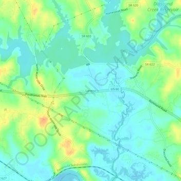
Name: Lanexa topographic map, elevation, terrain.
Location: Lanexa, New Kent County, Virginia, 23089, United States (37.40376 -76.92108 37.44376 -76.88108)
Average elevation: 12 m
Minimum elevation: -2 m
Maximum elevation: 37 m
Thank you for supporting this site ❤️
Make a donation
Make a donation