
Thank you for supporting this site ❤️
Make a donation
Make a donation
Eighty Eight topographic map
Click on the map to display elevation.
Thank you for supporting this site ❤️
Make a donation
Make a donation
About this map
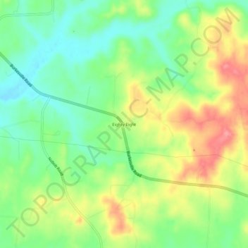
Name: Eighty Eight topographic map, elevation, terrain.
Location: Eighty Eight, Barren County, Kentucky, United States (36.89839 -85.80636 36.93839 -85.76636)
Average elevation: 241 m
Minimum elevation: 202 m
Maximum elevation: 292 m
Thank you for supporting this site ❤️
Make a donation
Make a donation