
Thank you for supporting this site ❤️
Make a donation
Make a donation
Zhuozhou City topographic map
Click on the map to display elevation.
Thank you for supporting this site ❤️
Make a donation
Make a donation
About this map
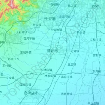
Name: Zhuozhou City topographic map, elevation, terrain.
Location: Zhuozhou City, Baoding City, Hebei, China (39.35098 115.73768 39.59986 116.24213)
Average elevation: 55 m
Minimum elevation: 17 m
Maximum elevation: 1,030 m
Thank you for supporting this site ❤️
Make a donation
Make a donation
Other topographic maps
Click on a map to view its topography, its elevation and its terrain.