
建桥 topographic map
Interactive map
Click on the map to display elevation.
About this map
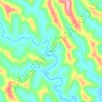
Name: 建桥 topographic map, elevation, terrain.
Location: 建桥, 德阳市, 四川省, 中国 (30.66590 105.07000 30.70590 105.11000)
Average elevation: 392 m
Minimum elevation: 319 m
Maximum elevation: 551 m
Other topographic maps
Click on a map to view its topography, its elevation and its terrain.