
Thank you for supporting this site ❤️
Make a donation
Make a donation
York Township topographic map
Click on the map to display elevation.
Thank you for supporting this site ❤️
Make a donation
Make a donation
About this map
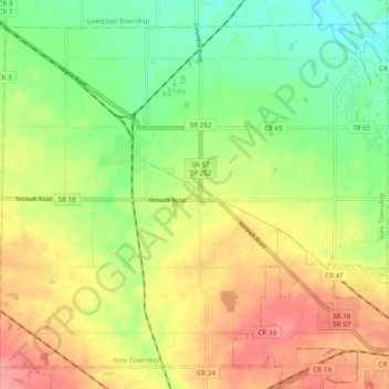
Name: York Township topographic map, elevation, terrain.
Location: York Township, Medina County, Ohio, United States (41.13589 -81.97532 41.20051 -81.87820)
Average elevation: 304 m
Minimum elevation: 261 m
Maximum elevation: 353 m
Thank you for supporting this site ❤️
Make a donation
Make a donation
Other topographic maps
Click on a map to view its topography, its elevation and its terrain.