
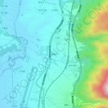
西面村 topographic map
Interactive map
Click on the map to display elevation.
About this map
Name: 西面村 topographic map, elevation, terrain.
Location: 西面村, 七河镇, 古城区, 丽江市, 云南省, 中国 (26.67456 100.23769 26.71456 100.27769)
Average elevation: 2,322 m
Minimum elevation: 2,208 m
Maximum elevation: 2,839 m
Other topographic maps
Click on a map to view its topography, its elevation and its terrain.