
Thank you for supporting this site ❤️
Make a donation
Make a donation
Bhrajam topographic map
Click on the map to display elevation.
Thank you for supporting this site ❤️
Make a donation
Make a donation
About this map
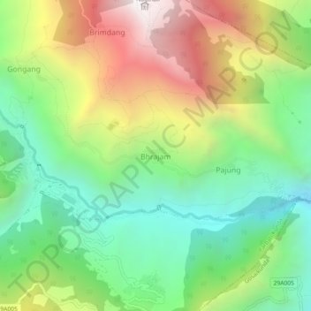
Name: Bhrajam topographic map, elevation, terrain.
Location: Bhrajam, Parbati Kunda, Rasuwa, Bagmati Province, Nepal (28.16774 85.29696 28.20774 85.33696)
Average elevation: 2,189 m
Minimum elevation: 1,498 m
Maximum elevation: 3,246 m
Thank you for supporting this site ❤️
Make a donation
Make a donation
Other topographic maps
Click on a map to view its topography, its elevation and its terrain.