
Thank you for supporting this site ❤️
Make a donation
Make a donation
Pleasureville topographic map
Click on the map to display elevation.
Thank you for supporting this site ❤️
Make a donation
Make a donation
About this map
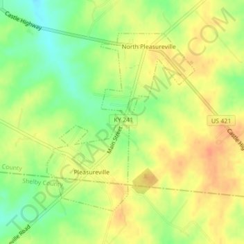
Name: Pleasureville topographic map, elevation, terrain.
Location: Pleasureville, Henry County, Kentucky, United States (38.34159 -85.12157 38.36125 -85.10064)
Average elevation: 269 m
Minimum elevation: 246 m
Maximum elevation: 286 m
Thank you for supporting this site ❤️
Make a donation
Make a donation
Other topographic maps
Click on a map to view its topography, its elevation and its terrain.