
Thank you for supporting this site ❤️
Make a donation
Make a donation
Tadamanoor topographic map
Click on the map to display elevation.
Thank you for supporting this site ❤️
Make a donation
Make a donation
About this map
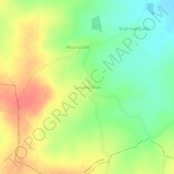
Name: Tadamanoor topographic map, elevation, terrain.
Location: Tadamanoor, Andole mandal, Sangareddy, Telangana, India (17.79018 77.95911 17.83018 77.99911)
Average elevation: 534 m
Minimum elevation: 505 m
Maximum elevation: 564 m
Thank you for supporting this site ❤️
Make a donation
Make a donation
Other topographic maps
Click on a map to view its topography, its elevation and its terrain.