
Wandong topographic map
Click on the map to display elevation.
About this map
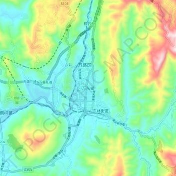
Name: Wandong topographic map, elevation, terrain.
Location: Wandong, Wansheng, Qijiang District, Chongqing, China (28.91732 106.88654 28.99732 106.96654)
Average elevation: 455 m
Minimum elevation: 285 m
Maximum elevation: 879 m