
Namik topographic map
Click on the map to display elevation.
About this map
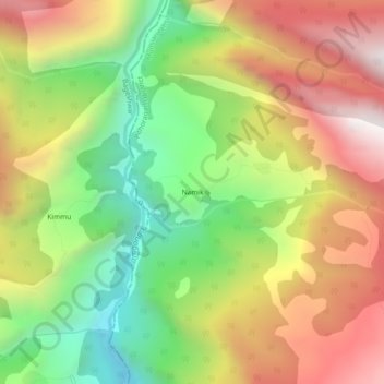
Name: Namik topographic map, elevation, terrain.
Average elevation: 2,370 m
Minimum elevation: 1,690 m
Maximum elevation: 3,103 m
Other topographic maps
Click on a map to view its topography, its elevation and its terrain.
Milam Glacier
India > Uttarakhand > Munsiari tehsil
Milam Glacier, covering around 37 km2 (14 sq mi) area of 16 km (10 mi) length, is located about 15 kilometres (9 mi) northeast of Nanda Devi. It ranges in elevation from about 5,500 metres (18,000 ft) to about 3,870 metres (12,700 ft) at its snout. Situated on the south facing slope of the main Great Himalayas…
Average elevation: 5,229 m
Milam Glacier
India > Uttarakhand > Munsiari tehsil
The Bhotiya communities living in the Pithoragarh district historically practised transhumance between summer villages located at higher altitudes, close to the border with Tibet, and winter settlements located at lower altitudes, close to the Himalayan foothills and the Gangetic plains. With transhumance as a…
Average elevation: 5,229 m