
Thank you for supporting this site ❤️
Make a donation
Make a donation
Waret topographic map
Click on the map to display elevation.
Thank you for supporting this site ❤️
Make a donation
Make a donation
About this map
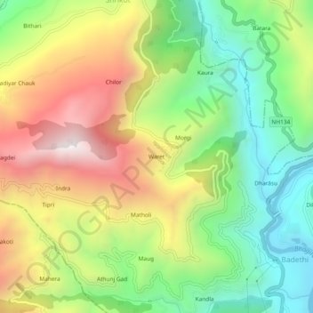
Name: Waret topographic map, elevation, terrain.
Location: Waret, Chinyali Saur, Uttarkashi, Uttarakhand, India (30.59804 78.27844 30.63804 78.31844)
Average elevation: 1,337 m
Minimum elevation: 819 m
Maximum elevation: 2,020 m
Thank you for supporting this site ❤️
Make a donation
Make a donation