
Thank you for supporting this site ❤️
Make a donation
Make a donation
La Barbolla topographic map
Click on the map to display elevation.
Thank you for supporting this site ❤️
Make a donation
Make a donation
About this map
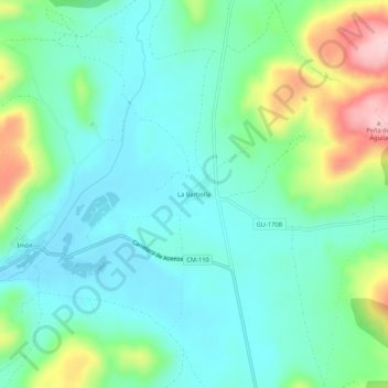
Name: La Barbolla topographic map, elevation, terrain.
Location: La Barbolla, Sigüenza, Guadalajara, Castilla-La Mancha, España (41.14657 -2.73107 41.18657 -2.69107)
Average elevation: 982 m
Minimum elevation: 925 m
Maximum elevation: 1,145 m
Thank you for supporting this site ❤️
Make a donation
Make a donation
Other topographic maps
Click on a map to view its topography, its elevation and its terrain.