
Thank you for supporting this site ❤️
Make a donation
Make a donation
Jabal al Hamri topographic map
Click on the map to display elevation.
Thank you for supporting this site ❤️
Make a donation
Make a donation
About this map
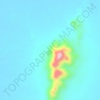
Name: Jabal al Hamri topographic map, elevation, terrain.
Location: Jabal al Hamri, Northern State, Sudan (20.38328 30.81662 20.38338 30.81672)
Average elevation: 309 m
Minimum elevation: 278 m
Maximum elevation: 518 m
Thank you for supporting this site ❤️
Make a donation
Make a donation
Other topographic maps
Click on a map to view its topography, its elevation and its terrain.