
Thank you for supporting this site ❤️
Make a donation
Make a donation
Anggaberi topographic map
Click on the map to display elevation.
Thank you for supporting this site ❤️
Make a donation
Make a donation
About this map
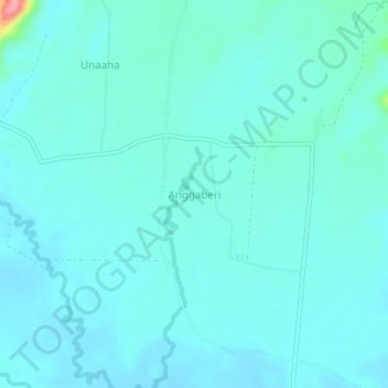
Name: Anggaberi topographic map, elevation, terrain.
Location: Anggaberi, Konawe, Southeast Sulawesi, Sulawesi, Indonesia (-3.81389 122.05746 -3.77389 122.09746)
Average elevation: 35 m
Minimum elevation: 22 m
Maximum elevation: 133 m
Thank you for supporting this site ❤️
Make a donation
Make a donation
Other topographic maps
Click on a map to view its topography, its elevation and its terrain.