
Thank you for supporting this site ❤️
Make a donation
Make a donation
Khor Allay Miluk topographic map
Click on the map to display elevation.
Thank you for supporting this site ❤️
Make a donation
Make a donation
About this map
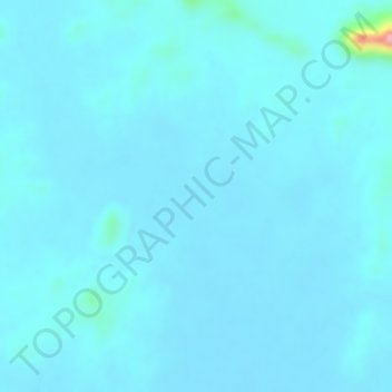
Name: Khor Allay Miluk topographic map, elevation, terrain.
Location: Khor Allay Miluk, Port Sudan, Red Sea State, Sudan (19.58595 35.63275 19.58605 35.63285)
Average elevation: 559 m
Minimum elevation: 548 m
Maximum elevation: 686 m
Thank you for supporting this site ❤️
Make a donation
Make a donation
Other topographic maps
Click on a map to view its topography, its elevation and its terrain.