
Thank you for supporting this site ❤️
Make a donation
Make a donation
Ujungjaya topographic map
Click on the map to display elevation.
Thank you for supporting this site ❤️
Make a donation
Make a donation
About this map
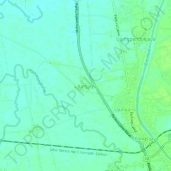
Name: Ujungjaya topographic map, elevation, terrain.
Location: Ujungjaya, Indramayu, West Java, Java, 45271, Indonesia (-6.47406 108.25805 -6.43406 108.29805)
Average elevation: 8 m
Minimum elevation: 3 m
Maximum elevation: 13 m
Thank you for supporting this site ❤️
Make a donation
Make a donation