
Thank you for supporting this site ❤️
Make a donation
Make a donation
Dadoli topographic map
Click on the map to display elevation.
Thank you for supporting this site ❤️
Make a donation
Make a donation
About this map
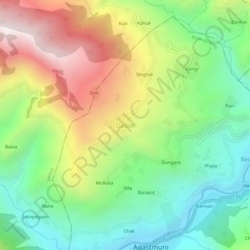
Name: Dadoli topographic map, elevation, terrain.
Location: Dadoli, Rudraprayag, Uttarakhand, 246421, India (30.39144 79.00127 30.43144 79.04127)
Average elevation: 1,272 m
Minimum elevation: 769 m
Maximum elevation: 2,045 m
Thank you for supporting this site ❤️
Make a donation
Make a donation