
Thank you for supporting this site ❤️
Make a donation
Make a donation
Bellbrook topographic map
Click on the map to display elevation.
Thank you for supporting this site ❤️
Make a donation
Make a donation
About this map
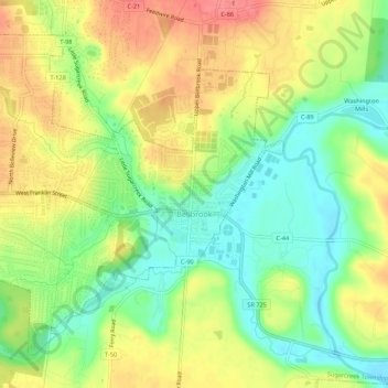
Name: Bellbrook topographic map, elevation, terrain.
Location: Bellbrook, Greene County, Ohio, 45305, United States (39.62069 -84.11178 39.65512 -84.05772)
Average elevation: 262 m
Minimum elevation: 228 m
Maximum elevation: 298 m
Thank you for supporting this site ❤️
Make a donation
Make a donation