
Thank you for supporting this site ❤️
Make a donation
Make a donation
Nabingoola topographic map
Click on the map to display elevation.
Thank you for supporting this site ❤️
Make a donation
Make a donation
About this map
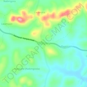
Name: Nabingoola topographic map, elevation, terrain.
Location: Nabingoola, Mubende, Central Region, Uganda (0.46714 31.16122 0.50714 31.20122)
Average elevation: 1,337 m
Minimum elevation: 1,283 m
Maximum elevation: 1,462 m
Thank you for supporting this site ❤️
Make a donation
Make a donation