
下雷镇 topographic map
Interactive map
Click on the map to display elevation.
About this map
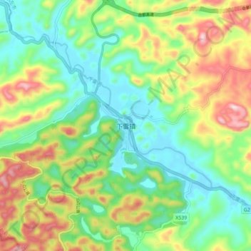
Name: 下雷镇 topographic map, elevation, terrain.
Location: 下雷镇, 大新县, 崇左市, 广西壮族自治区, 中国 (22.87487 106.71513 22.95487 106.79513)
Average elevation: 426 m
Minimum elevation: 242 m
Maximum elevation: 759 m
Other topographic maps
Click on a map to view its topography, its elevation and its terrain.