
Thank you for supporting this site ❤️
Make a donation
Make a donation
Williams topographic map
Click on the map to display elevation.
Thank you for supporting this site ❤️
Make a donation
Make a donation
Williams
Bill Williams Mountain rises to an elevation of 9,256 feet (2,821 m) just south of Williams. According to the United States Census Bureau, the city has a total area of 43.8 square miles (113 km2), of which 43.5 square miles (113 km2) is land and 0.3 square miles (0.78 km2), or 0.66%, is water.
Thank you for supporting this site ❤️
Make a donation
Make a donation
About this map
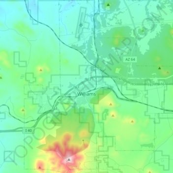
Name: Williams topographic map, elevation, terrain.
Location: Williams, Coconino County, Arizona, 86046, United States (35.18978 -112.24731 35.32272 -112.10644)
Average elevation: 2,131 m
Minimum elevation: 1,962 m
Maximum elevation: 2,811 m
Thank you for supporting this site ❤️
Make a donation
Make a donation
Other topographic maps
Click on a map to view its topography, its elevation and its terrain.