
绍水镇 topographic map
Interactive map
Click on the map to display elevation.
About this map
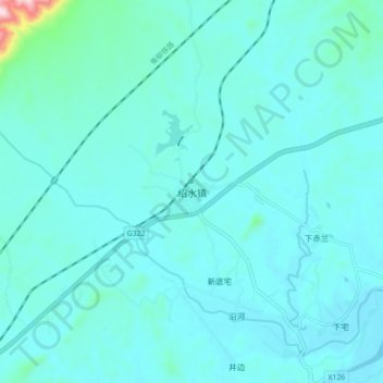
Name: 绍水镇 topographic map, elevation, terrain.
Location: 绍水镇, 桂林市, 广西壮族自治区, 中国 (25.83610 110.81748 25.91610 110.89748)
Average elevation: 202 m
Minimum elevation: 165 m
Maximum elevation: 551 m
Other topographic maps
Click on a map to view its topography, its elevation and its terrain.