
Thank you for supporting this site ❤️
Make a donation
Make a donation
La Rodada topographic map
Click on the map to display elevation.
Thank you for supporting this site ❤️
Make a donation
Make a donation
About this map
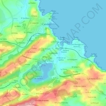
Name: La Rodada topographic map, elevation, terrain.
Location: La Rodada, Candás, Carreño, Asturias, 33491, España (43.55913 -5.78073 43.59913 -5.74073)
Average elevation: 45 m
Minimum elevation: -13 m
Maximum elevation: 145 m
Thank you for supporting this site ❤️
Make a donation
Make a donation