
Thank you for supporting this site ❤️
Make a donation
Make a donation
Foxfire topographic map
Click on the map to display elevation.
Thank you for supporting this site ❤️
Make a donation
Make a donation
About this map
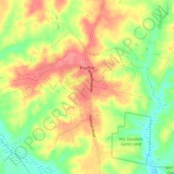
Name: Foxfire topographic map, elevation, terrain.
Location: Foxfire, Moore County, North Carolina, United States (35.14981 -79.61631 35.18784 -79.54303)
Average elevation: 138 m
Minimum elevation: 99 m
Maximum elevation: 174 m
Thank you for supporting this site ❤️
Make a donation
Make a donation
Other topographic maps
Click on a map to view its topography, its elevation and its terrain.