
Sabkha of El Qattara Depression topographic map
Interactive map
Click on the map to display elevation.
About this map
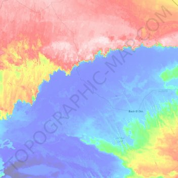
Name: Sabkha of El Qattara Depression topographic map, elevation, terrain.
Location: Sabkha of El Qattara Depression, Matrouh, Egypt (29.64608 26.88241 30.44372 28.64251)
Average elevation: 43 m
Minimum elevation: -131 m
Maximum elevation: 266 m