
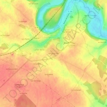
Les Vieux Pins topographic map
Interactive map
Click on the map to display elevation.
About this map
Name: Les Vieux Pins topographic map, elevation, terrain.
Average elevation: 138 m
Minimum elevation: 99 m
Maximum elevation: 158 m
Other topographic maps
Click on a map to view its topography, its elevation and its terrain.
Les Plantis
France > Nouvelle-Aquitaine > Vienne > Lusignan
Les Plantis, Lusignan, Poitiers, Vienne, Nouvelle-Aquitaine, France métropolitaine, 86600, France
Average elevation: 140 m