
Thank you for supporting this site ❤️
Make a donation
Make a donation
Haya topographic map
Click on the map to display elevation.
Thank you for supporting this site ❤️
Make a donation
Make a donation
About this map
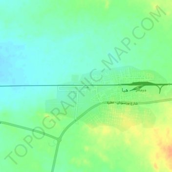
Name: Haya topographic map, elevation, terrain.
Location: Haya, Sinkat District, Red Sea State, Sudan (18.31373 36.35652 18.35373 36.39652)
Average elevation: 643 m
Minimum elevation: 630 m
Maximum elevation: 664 m
Thank you for supporting this site ❤️
Make a donation
Make a donation