
Thank you for supporting this site ❤️
Make a donation
Make a donation
Guat topographic map
Click on the map to display elevation.
Thank you for supporting this site ❤️
Make a donation
Make a donation
About this map
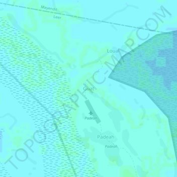
Name: Guat topographic map, elevation, terrain.
Location: Guat, Leer, Unity, South Sudan (8.39484 30.16513 8.43484 30.20513)
Average elevation: 397 m
Minimum elevation: 395 m
Maximum elevation: 399 m
Thank you for supporting this site ❤️
Make a donation
Make a donation