
望牛墩镇 topographic map
Interactive map
Click on the map to display elevation.
About this map
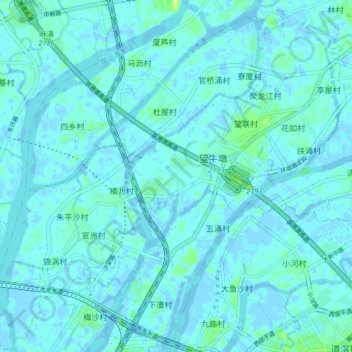
Name: 望牛墩镇 topographic map, elevation, terrain.
Location: 望牛墩镇, 东莞市, 广东省, 中国 (23.00906 113.58858 23.08039 113.67101)
Average elevation: 2 m
Minimum elevation: -6 m
Maximum elevation: 15 m
Other topographic maps
Click on a map to view its topography, its elevation and its terrain.